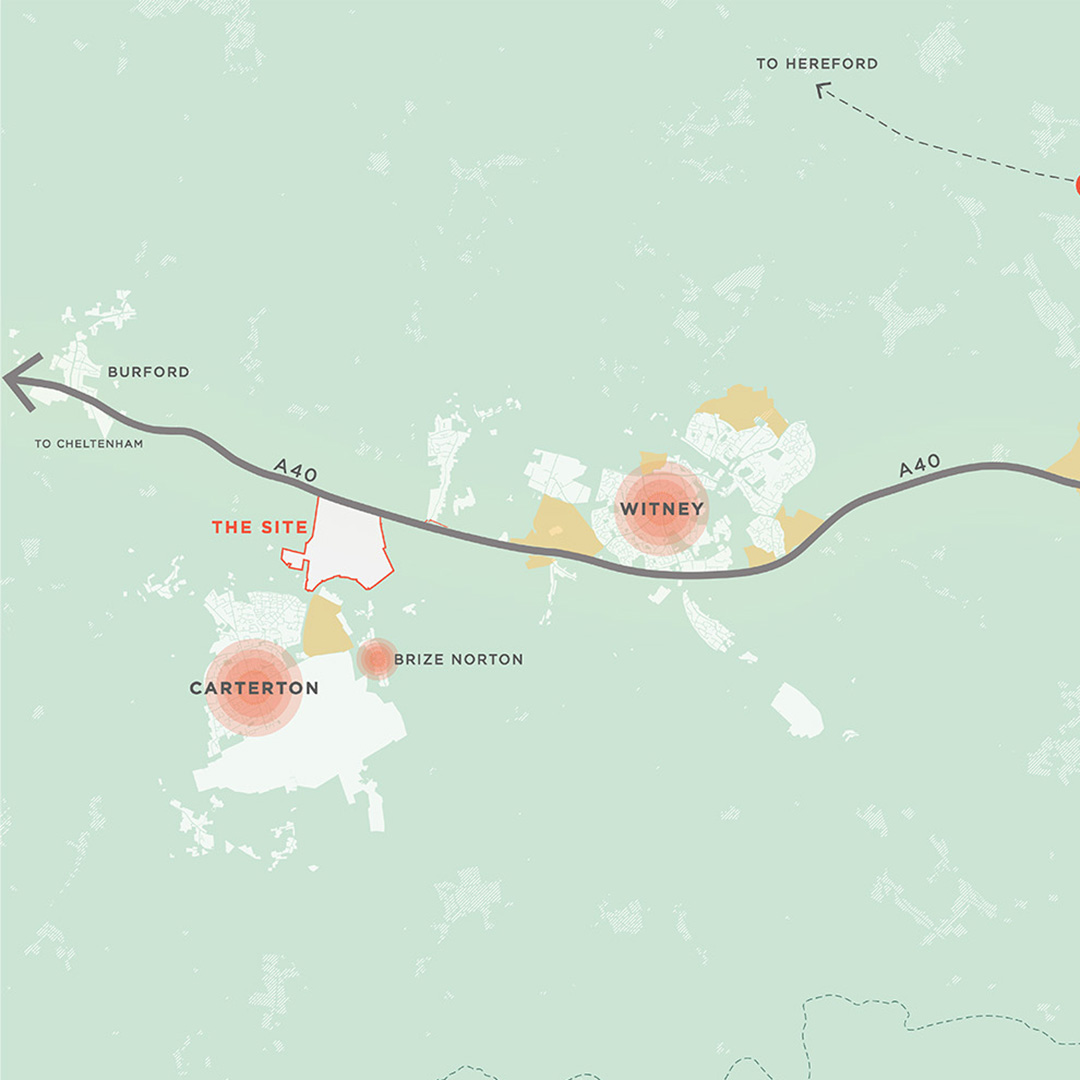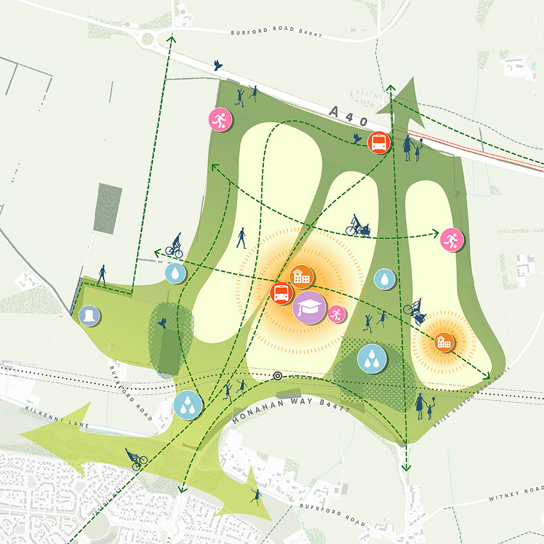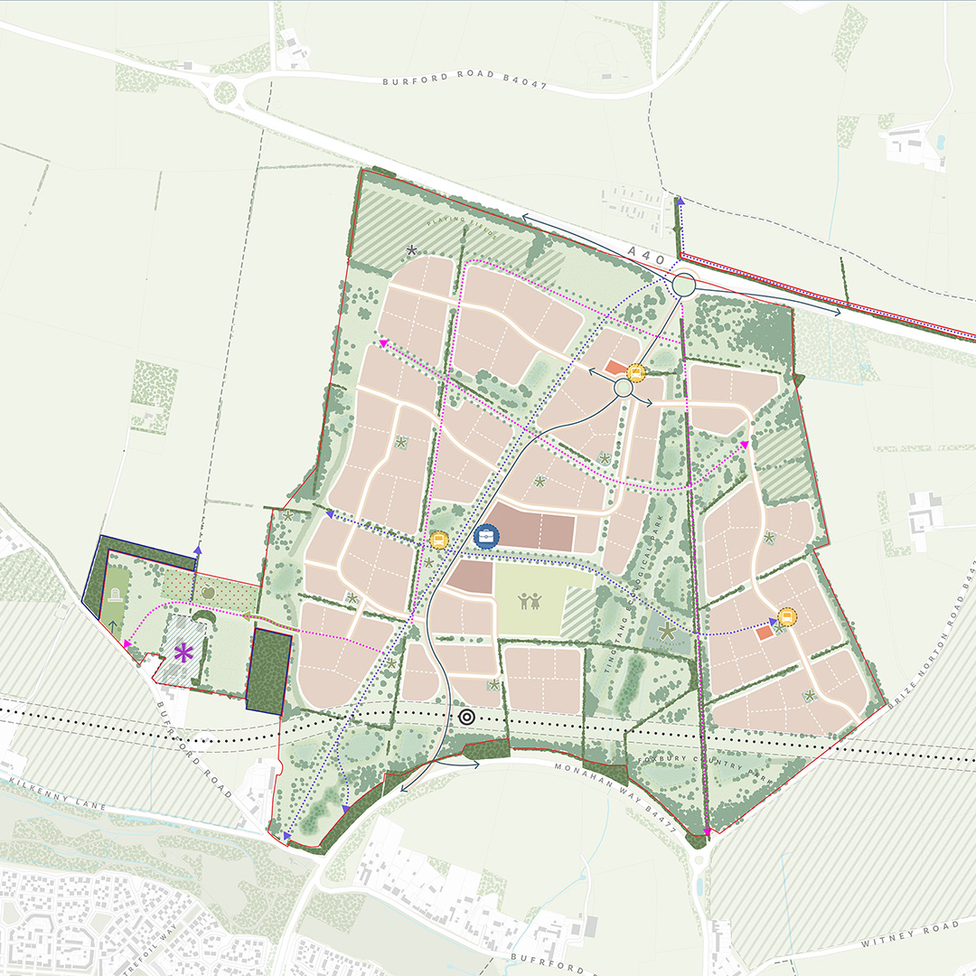
Site Features
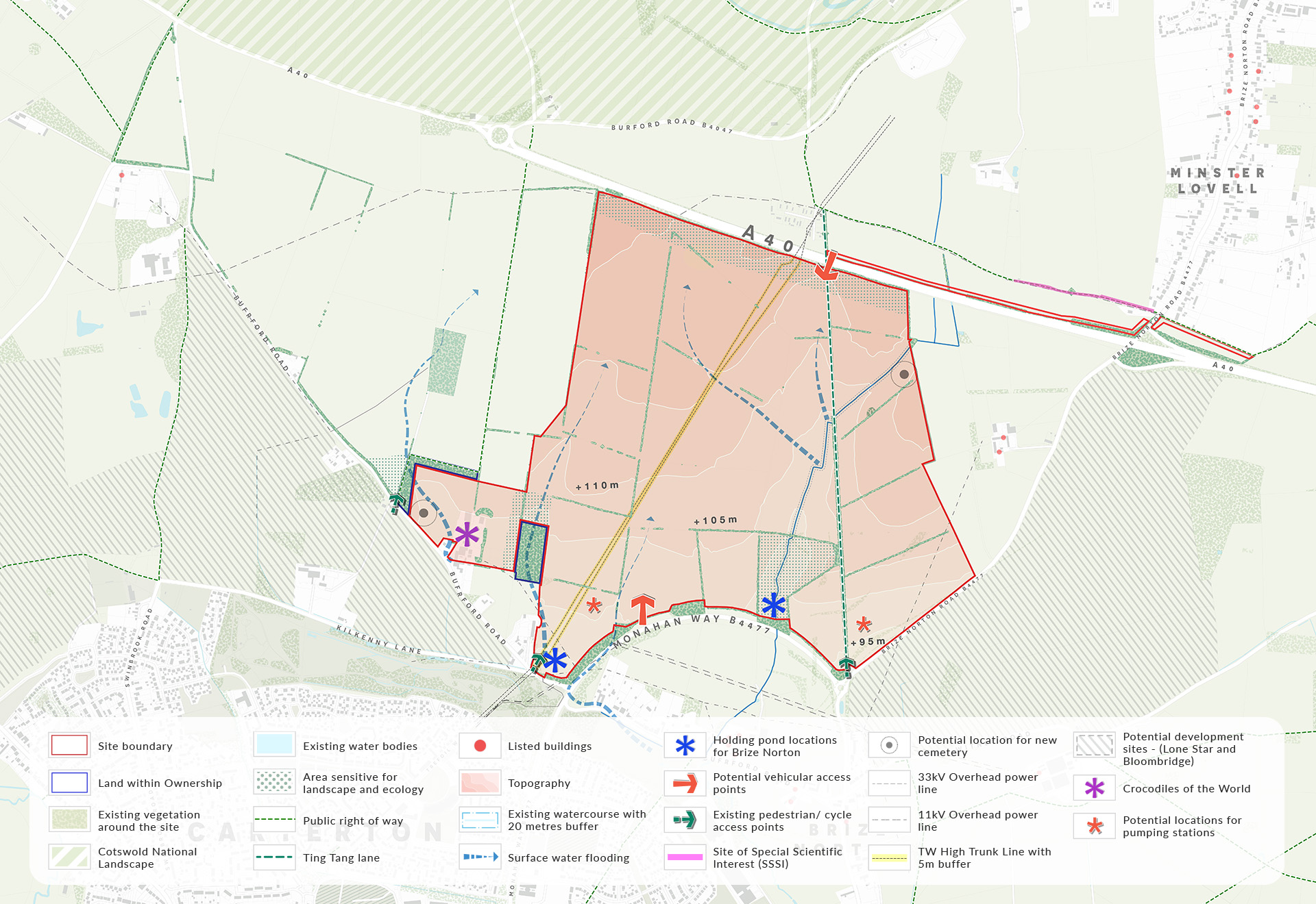
The Site Features Plan highlights key factors identified through technical studies, including:
- The Cotswolds National Landscape north of the site
- No designated heritage assets on site
- Thames Water trunk water mains that run north-south through the site
- A minor water course that flows through the eastern part of the site
- A public byway (Ting Tang Lane) that crosses the site north-south


Water Management
- The site lies in Flood Zone 1 - lowest probability of flooding
- Low risk of flooding from surface water, sewers and groundwater
- Surface water would be managed through natural drainage features and controlled release to mimic existing conditions. Where possible, water will also infiltrate into the ground
- This approach is expected to reduce runoff compared with current conditions, while also improving water quality and supporting wider landscape and wildlife benefits
- Proposed masterplan also includes surface water retention improvements to help alleviate some of the existing downstream issues
- Ongoing dialogue with Thames Water regarding foul drainage solutions for the site